Brownsville & the Lower Rio Grande Valley
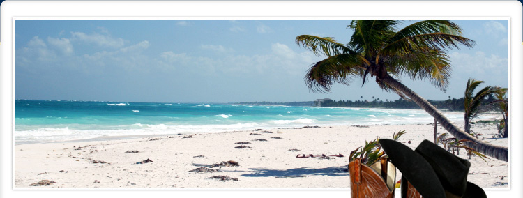
Brownsville is located adjacent to the Rio Grande River and the international border with Mexico. It is just 25 miles from the Gulf of Mexico and picturesque South Padre Island.
Brownsville's subtropical climate offers more than 230 days of sun throughout the year. The average daily temperature is 74 degrees. Cool breezes from the Gulf of Mexico moderate the summer heat, and most winters pass without a freeze. January is the coldest month of the year with an average temperature of 63 degrees.
The city is home to Resaca De La Palma State Park, the World Birding Center, the internationally recognized Gladys Porter Zoo, Brownsville/South Padre Island International Airport, the
deep water Port of Brownsville, the University of Texas at Brownsville, Texas Southmost College, and
the Center for Gravitational Wave Astronomy.
As a border city, and the starting point of the legendary Chisolm Trail, Brownsville has a dramatic history and rich culture. The Brownsville Historical Association has worked diligently with private and public institutions to preserve and commemorate the city's heritage on the Texas frontier. Venues include the Historic Brownsville Museum, Stillman House Museum, and the Palo Alto and Resaca De La Palma battlefields.
Annual events include Charro Days, the Sombrero Festival, the Commemorative Air Fiesta, the Gulf Shrimp Fiesta, and the performing arts seasons presented by the University of Texas at Brownsville, the Brownsville Society for the Performing Arts, and the Camille Lightner Theatre.
Quick Facts:
Population (2007 est.):
Brownville: 172,806
Metropolitan Area: 387, 210
Rio Grande Valley: 1,118,237


